Help

Read More About How to Use the Visualizations.

How to Use the Line Chart Visualization

  1. Use the Model Options form to select parameters for the projection you want to view. Select a Example of information icon button. to learn more about each option. Select Show to display the projection.

  2. You can display multiple lines at once to compare projections - just change your options and select Show again. You can also delete individual projections by clicking the X button to the left of each projection in the Model Parameter Summary. Or you can clear all projections by clicking the Clear button.

  3. You can also add multiple projections at once by selecting the option that specifies "Separate".

  4. Hovering in the chart area displays the values associated with each projection for a given year. The number circles correspond with the number circles in the Model Parameter Summary.
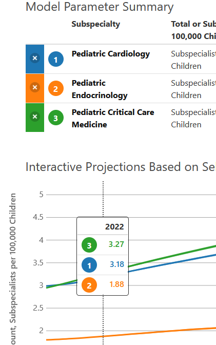
    The circle numbers link the values in the hover table and the parameters table.
  5. The area around each projection line represents the confidence interval. The interval will be larger for smaller subspecialist populations and for projections further in the future.
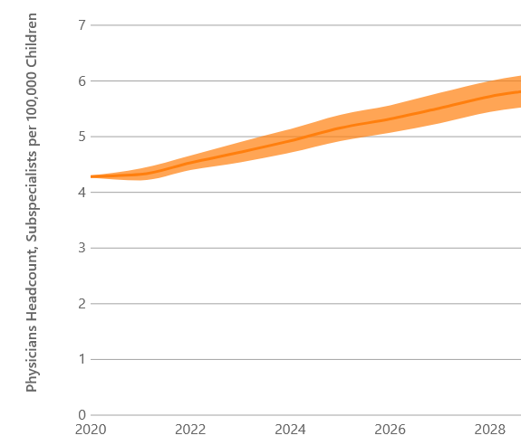
    Confidence intervals surround each projection.
  6. You can download an image of the chart or the data underlying the chart as a .csv file by clicking one of the download buttons.

    Buttons for downloading an image or csv.

How to Use the Map Visualization

  1. This visualization displays projections for either all Census Divisions or Census Regions. Use the Model Options form to select parameters for the projections you want to view. Select a Example of information icon button. to learn more about each option. Select Show to display the projection.

  2. The map shows the projected supply for a specific year. You can find specific values on the map by hovering over a Census Region or Division in the map. All values are rates per 100,000 children in the region or division. You can change the projection year by clicking on the Projection Year options.

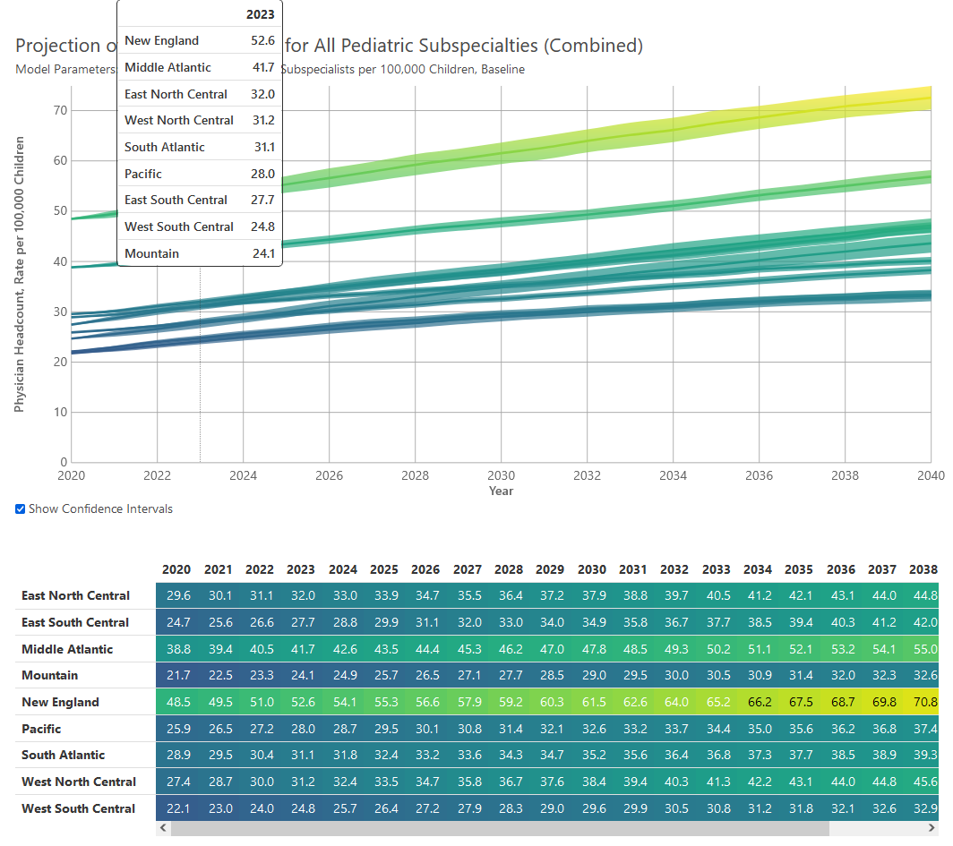
  3. The projections for the Census Regions or Divisions are also displayed as a line chart and a table. The line chart displays confidence intervals around the projection mean. You can also hover on the line chart to obtain projection values for a given year.

    In both the line chart and the table, the colors correspond to the colors in the map.

    Line chart and table of data in the map.
  4. You can download an image of the chart or the data underlying the chart as a .csv file by clicking one of the download buttons.

    Buttons for downloading an image or csv.